For those of you who want to see the route we took on this summer’s expedition to the Zhetysu region of Eastern Kazakhstan, I am posting a couple of maps here. You can find the maps in my full report – see below – which I have updated to include them. This first map gives a general idea of the region:
It shows the Zhetysu region, which is bounded by Lake Balkash in the north and Lake Ala Kul in the East. To the south it is bounded by the mountains on the border with China – the thick black line. Our route, which totalled approximately 90kms, is marked in blue.
Here is a more detailed map that also shows the rivers:

South of Ekiasha (Pokatilovka) you can see the two branches of the Bascan River and the route we took from the Little Bascan to the Big Bascan. From thereyou can see where we crossed the pass with no name over into the Solnechnaia Dalina (Sunny Valley), before making our way past the entrance to the valley where lies the Upper Zhassyl Kul lake, on to Zhassyl Kul proper and then further northwards towards the cordon building at the end of our journey.
All of this journey was in the Djungar Alatau National Park, whose headquarters are located in Sarcand, to the left of the map. Our main limitation on this journey was the fact that the guides did not think there was a safe passage from the valley of the Sarcan River to the Little Bascan river valley. That will have to wait for another time.

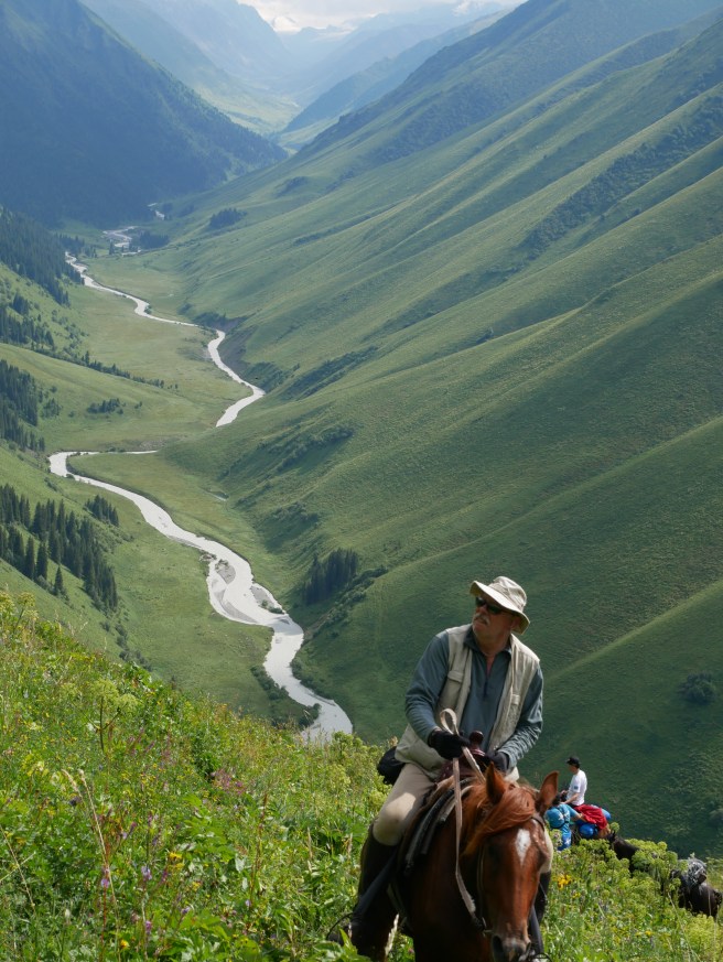
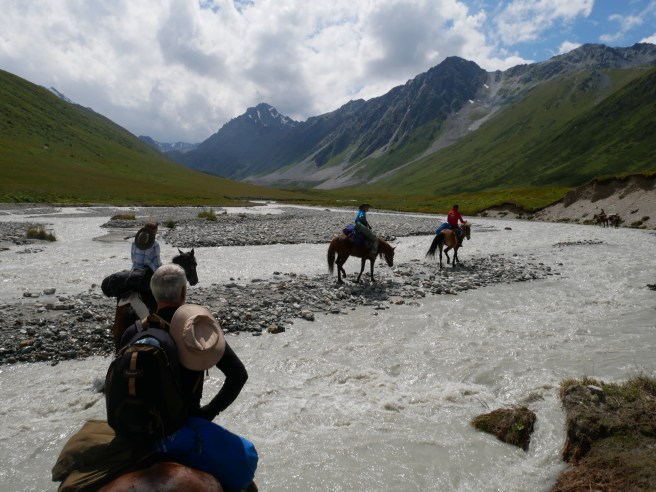
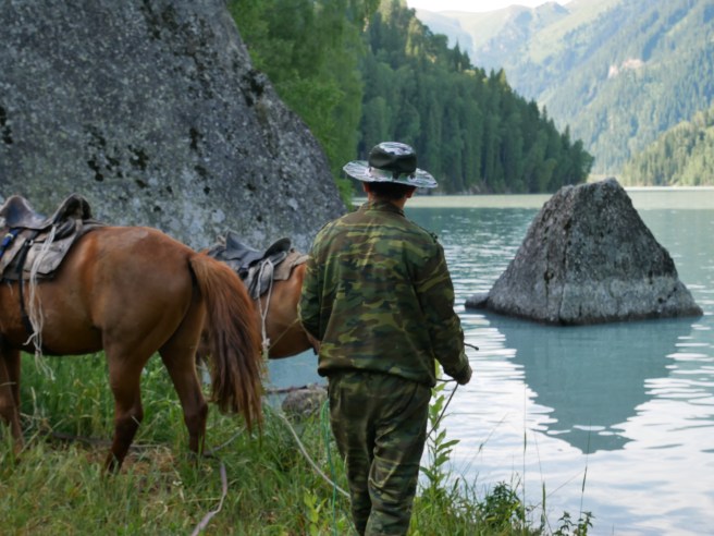
 Just back from a remarkable expedition on horseback into the Djungar Alatau Mountains of Eastern Kazakhstan, following in the footsteps of the journey made by Thomas and Lucy Atkinson in the spring and summer of 1849. We were the first outsiders to visit this remote region since the Atkinsons.